
Location of Studies
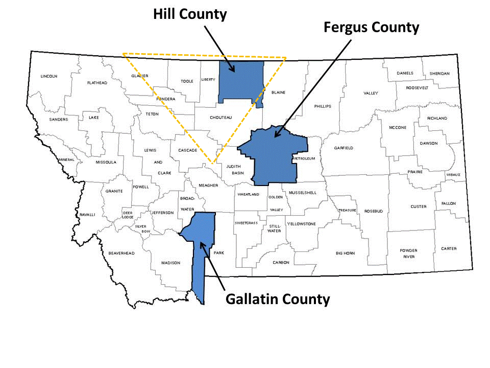
We had field studies at dryland farms in Hill, Fergus, and Gallatin County, Montana. Hill County lies within Montana's largest wheat producing region, referred to as the "Golden Triangle". This region annually seeds 2.2 million acres of wheat and is characterized by a semi-arid climate with 12 to 15" of annual precipitation. Hill County is one of the drier regions of the Triangle. Wheat-fallow is the dominant cropping system with most farms managed as no till.
Location, Soil Series and pH of Field Trials
| Location | Trial | County | Soil series | pH |
|---|---|---|---|---|
|
West Havre |
1 |
Hill |
Phillips-Elloam loam |
6.1 |
|
West Havre |
2, 5 |
Hill |
Phillips-Elloam loam |
6.4 |
|
North Havre |
3, 4 |
Hill |
Telstad-Joplin loam |
5.5 |
|
Kremlin |
6 |
Hill |
Phillips-Elloam loam |
6.0 |
|
West Havre |
7, 11 |
Hill |
Scobey-Kevin clay loam |
6.5 |
|
North Havre |
8 |
Hill |
Telstand-Joplin silt loam |
5.5 |
|
Willow Creek |
9, 10 |
Gallatin |
Brocko silt loam |
8.4 |
|
Kremlin |
12, 14, 17 |
Hill |
Scobey-Kevin clay loam |
6.0 |
|
North Havre |
13 |
Hill |
Telstad-Joplin loam |
6.8 |
|
North Havre |
15 |
Hill |
Telstad-Joplin loam |
5.5 |
|
Denton |
16 |
Fergus |
Fairfield-Danvers clay loam |
7.0 |
|
Coffee Creek |
18, 20, 21 |
Fergus |
Danvers clay |
7.0 |
|
Kremlin |
19 |
Hill |
Kevin-Hilton clay loam |
NA |
|
NA – not available |
||||